

https://www.google.com/maps/d/edit?mid=1e7Jd3RfJXInl2Eeh6v5mEhcF4vE-xmfV&usp=sharing
Welcome to the second in our series of Malahide family bike rides. Enjoy! You may view all our bike rides here. If you prefer walking – see our series of Malahide Looped Walks. Please remember – Paths within our parks and green spaces are “share with care”. When passing pedestrians from behind, let’s slow down, tinkle our bells from about 20 metres – smile and say hello.
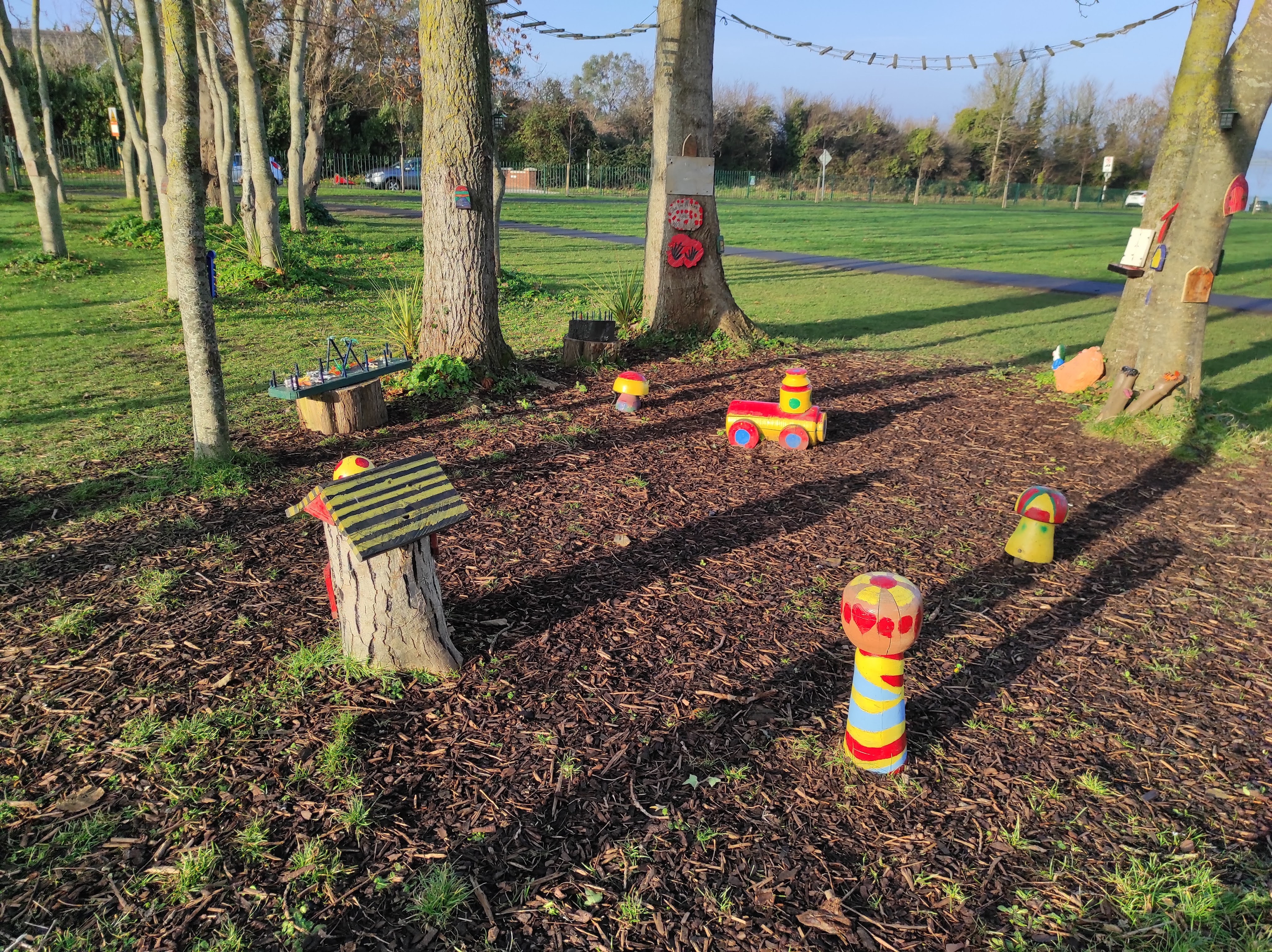
There’s a lovely short (approx 800 metres) “Share With Care” walking cycling path around Estuary Park Seabury – perfect for young children. Nice playground and exercise machines too. Lovely views of the estuary. The residents of Malahide and especially those of Seabury have been campaigning for almost 20 years for a safe walking cycling route from Seabury to St. John Paul II’s primary school and onwards to the Dart station, Malahide Demesne and all other local amenities. The Active Travel subcommittee of the Malahide Community Forum is supporting residents and liaising with Fingal County Council regarding the provision of “Safe Routes to School & to local amenities”.
A sand path (shown in yellow on the map) leads East from Estuary park to Caves Marsh and on to Barrack Bridge (Please exercise extreme care at the exit/access to Barrack Bridge, where there is no footpath and a busy road). Caves Marsh is a special area of conservation – please respect the nesting birdlife.
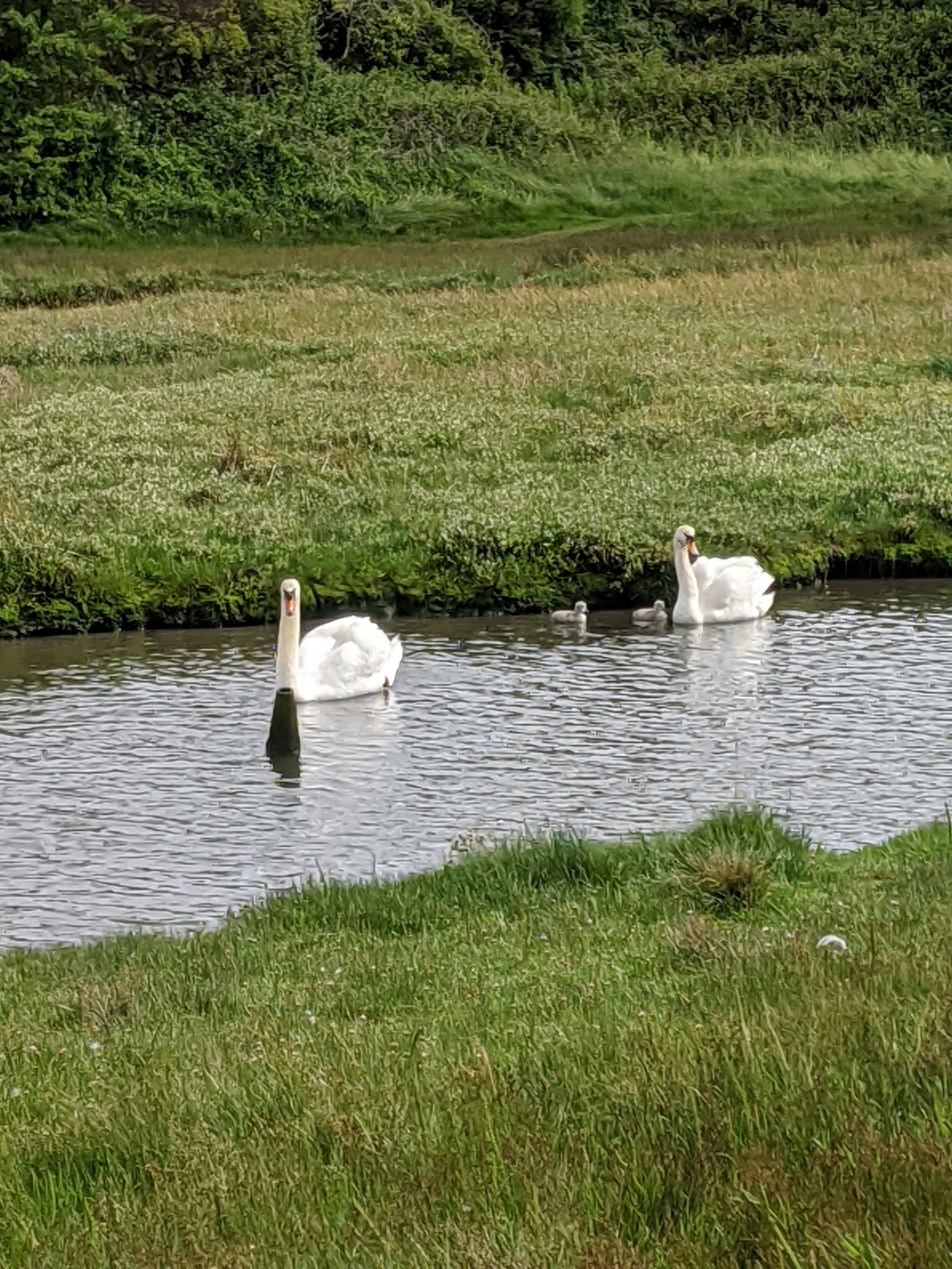
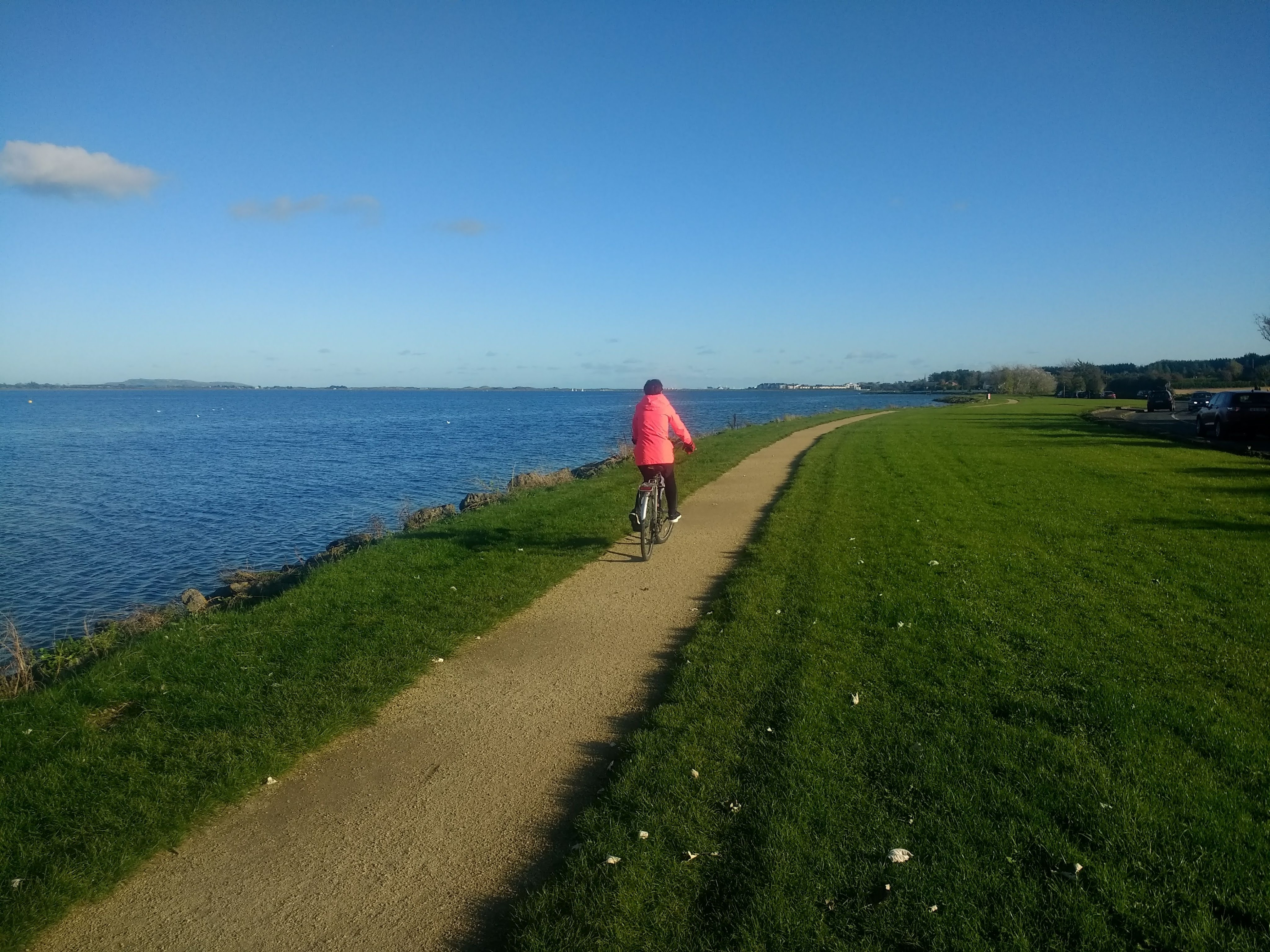
Estuary Park connects to the west via a narrow path (shown in red on the map) to a lovely car-free sand/gravel path (a bit narrow at approx. 1.5m wide) along the Southern shore of the Broadmeadow Estuary. It runs for 1.6KM between Estuary Park and the roundabout junction with Seatown Road. This path is perfect for cycling with young children, as it is completely off-road. A great nature trail with lots of birdlife – expect to see herons, swans, ducks etc.
The good news: In August 2020, Fingalcoco obtained €1M in COVID Mobility funding to improve the cycling connection from Swords to Malahide. This 2.5km project will run from Seatown Road (Woodie’s roundabout) to the Estuary and then along Estuary Road to Seabury. The part of the route along the Estuary will require planning permission from An Bord Pleanala, due to the sensitive nature of the Estuary.
Route Details: Estuary Park Seabury:
Length: 0.8km (loop)
Surface: Paved path
Difficulty: Easy
Segregation: Fully off-road
Route Details: Broadmeadow Estuary Southern Shore Path:
Length: 1.6km (One way)
Surface: Sandy path
Difficulty: Easy
Segregation: Fully off-road (Exercise care accessing at either end)
