
https://www.google.com/maps/d/u/0/edit?mid=1Um_GCG2wYSVLrFnmBfVsDsITdWglgI1R&usp=sharing
Welcome to the eight in our series of looped walks mapped by Stephen Macdonagh. See all Malahide Looped Walks.
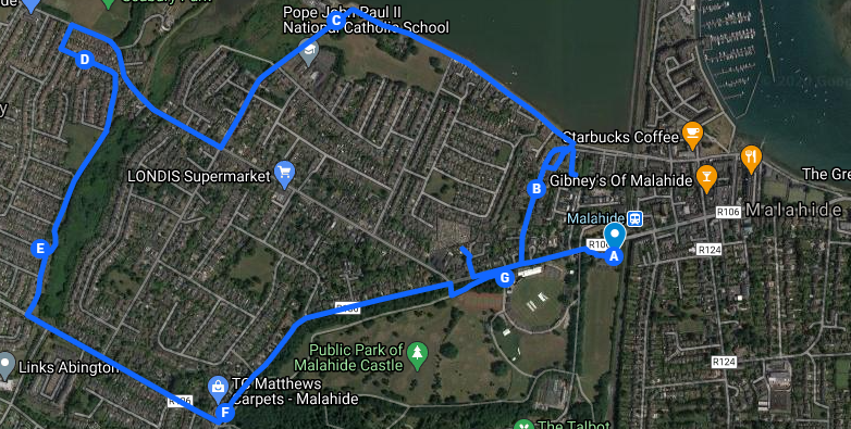
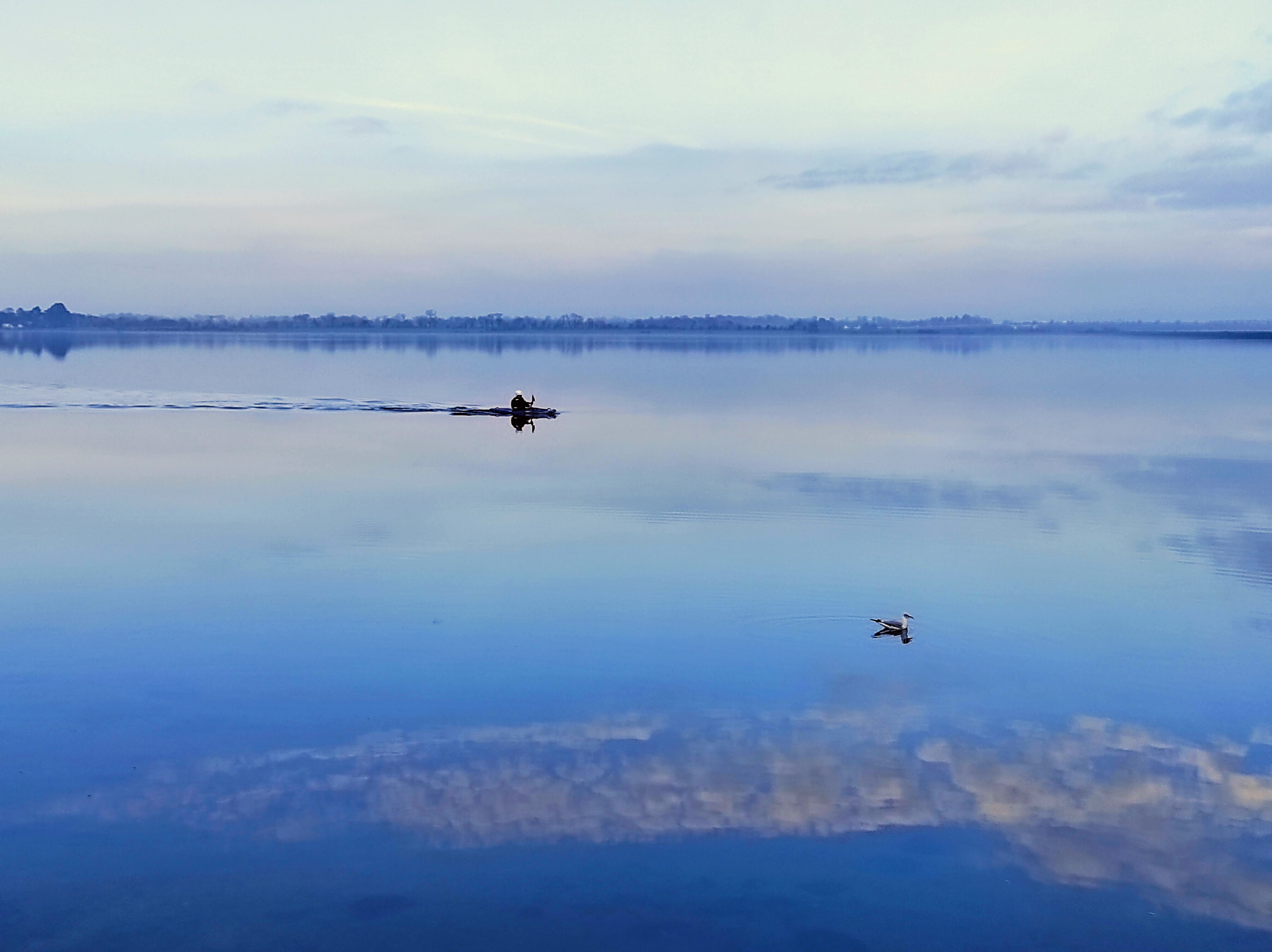
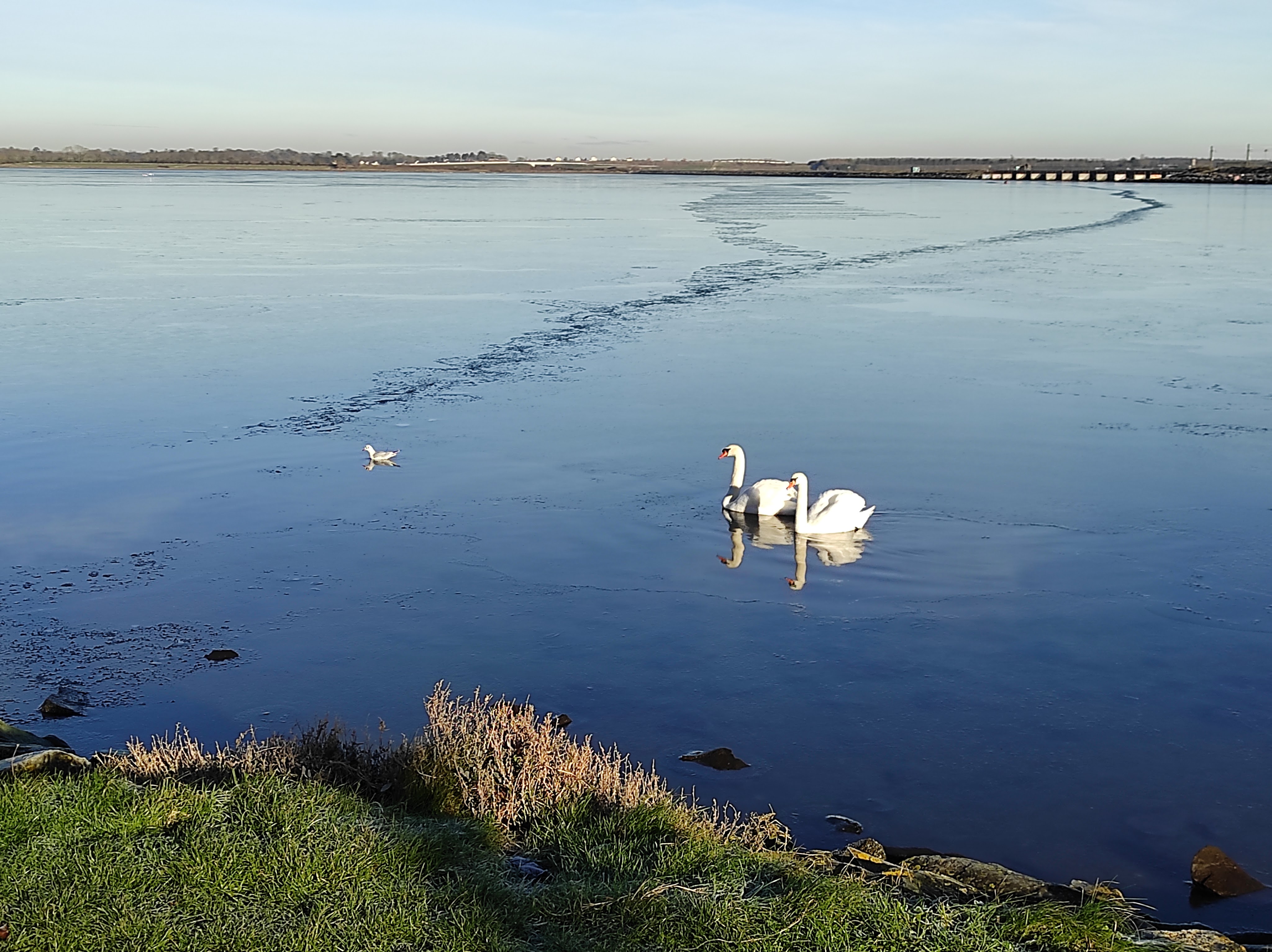
This 7.8km walk starts in the village at the Bridgefield Car Park (Marked A). Proceed out of the village along the Dublin Road and turn right down Hanlon’s Lane to the Back or inner Estuary where you turn left to walk along the estuary.
Walk west along the estuary (away from the village). Turn left at the Malahide Yacht Club and walk up Sea Road, past St. John Paul II school to the junction with the Yellow Walls road. Turn right at this junction and follow Old Yellow Walls road towards Seabury. Be careful crossing Barrack Bridge as the footpath is very narrow, making social distancing difficult.
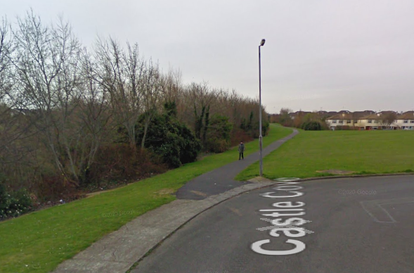
Continue along Old Yellow Walls Road to the junction with Seabury Crescent where you turn left. You can access the Seabury green space shown in the map from any of the cul-de-sacs off Seabury Crescent. The map shows the first access point (from Seabury Drive, through Castle Cove – marked D). Walk along the path through the green that connects the Seabury and Killeen green spaces. Point E is the steps linking the green spaces.
Exit Killeen estate and turn left onto the Dublin Road. Turn left at “McAllisters’ Garage” and follow the Dublin Road back into the village.
For a longer walk, combine this route with the Abington, Streamstown and Castle walk. Please remember to share our paths roads and parks with care.
This walk is not currently wheelchair accessible due to the steps between Seabury and Killeen (Point E on the map).
Length: 7.8 km
Surface: Fully paved (with some steps)
Footwear: Walking shoes / runners (no need for hiking boots)
Wheelchair Friendly: No – due to steps between Seabury and Killeen

Pingback: Malahide looped walks – Stay Active – Stay Safe – Stay Healthy | Malahide Community Forum