
The Dublin Inquirer ran a survey on local issues
They have also produced a voter guide where candidates have been invited to answer questions
https://dublinvoterguide2024.ie/areas/fingal-county-council/howth-malahide
The Dublin Inquirer ran a survey on local issues
They have also produced a voter guide where candidates have been invited to answer questions
https://dublinvoterguide2024.ie/areas/fingal-county-council/howth-malahide
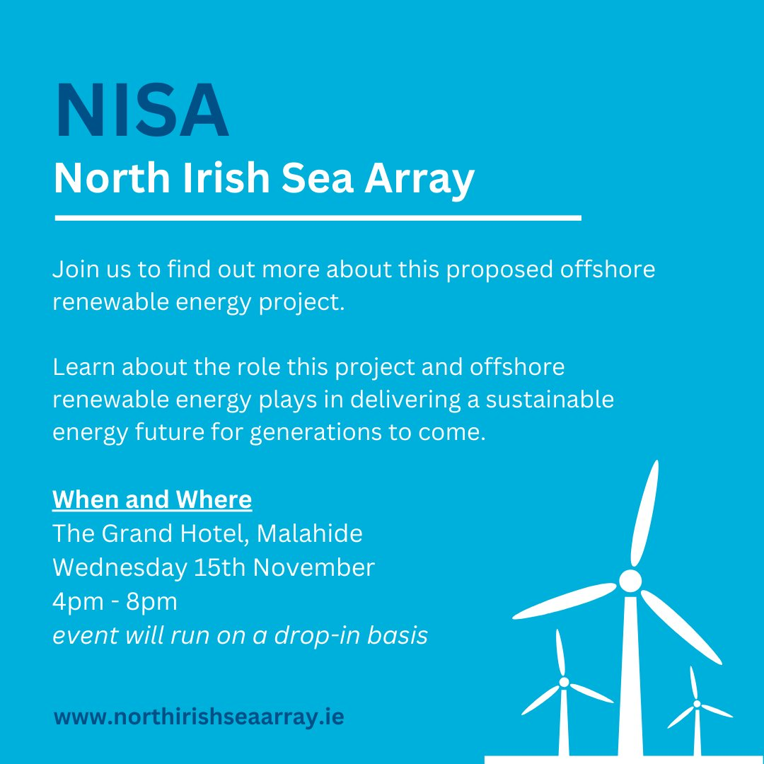
Graham Bell Suite, The Grand Hotel, Malahide
Very helpful and informative Public meeting with the North Sea Irish Array (NISA) group at the Grand Hotel on Tuesday April 9th.
Detail was shared on the trench that will be dug taking up a lane of the road and how the cable laying will work.
All of the detail of the project is available on their website where there is a virtual consultation room with all the detail shared at the Public meeting. We encourage all Malahide Residents to inform themselves. https://northirishseaarray.ie/
There is also an opportunity to give feedback directly to NISA https://northirishseaarray.ie/engagement-area/
Malahide Community Malahide Community Forum continue to advocate for an alternative route for the trenches and cable laying to go cross country rather than down the main Malahide to Swords and Malahide to Dublin Roads.
At the same time we would like to hear constructive suggestions from Malahide Residents with ideas to ameliorate the impact locally if the current proposal, to go down the main roads, proceeds. We will share those with the NISA promoters.
Ideas so far include scheduling works during school holidays, funding a local shuttle bus to help locals access Malahide town and reduce car traffic and carrying out enabling works outside of peak commuter times.
Graham Bell Suite, The Grand Hotel, Malahide
An offshore wind energy project has plans to deliver renewable energy to Ireland’s electricity grid via the laying of cables from Balbriggan to the grid station at Belcamp.
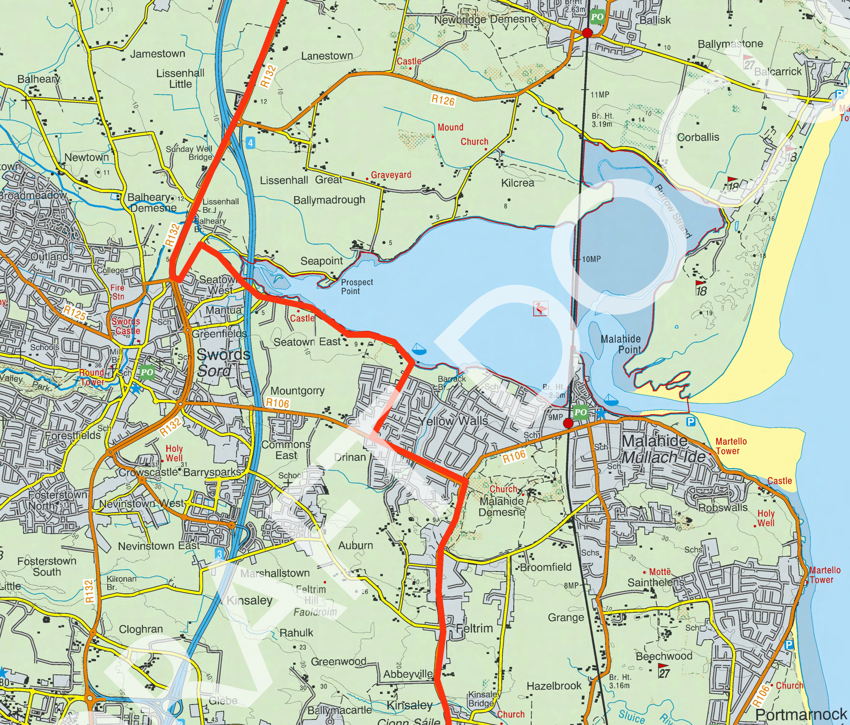
Whilst Malahide Community Forum strongly supports the provision and usage of renewable energy, we do not support the proposed route. The maps below show what the Forum believes is a viable, more cost-efficient route.
The Cable routing will not just impact a few estates it will affect the whole of Malahide. The trench and massive cable laying will require half the road to be dug up in 500 metre sections for 12 months, with likely and unknown additional work required to move existing utility services and pipes. The cables alone are enormous, weighing tonnes.
This will lead to disruption and chaos firstly on the Malahide to Swords road and Malahide to Dublin road. There will be significant and unnecessary impact on commuters, schools, public transport, visitors and residents leading their daily lives.
The alternative route we propose is through undeveloped lands (that can’t be developed due to flight paths). More direct and less cost. It massively reduces the anticipated traffic chaos and pollution impact of long lines of idling vehicles for long periods. Win win win. And an important piece of infrastructure is delivered minimising community impact.
For more information, please attend the public meeting being organised by the project in the Grand Hotel on April 9th.

See insights and ads
All reactions:
22
A local Resident has asked us to post this for awareness.
The Malahide Community Forum’s stance is a solution needs to be found that accommodates the needs of the airport as well as accommodating and respecting the needs and rights of the Residents in the areas adjoining the airport including adherence to the planning process and permissions.

This will be of interest to Residents. Proposed cable to come down from Balbriggan go around Seabury down Estuary Road and out Swords Road to McAllister’s and then Dublin Road to the ESB substation at Belcamp. Marked in red on route below. Significant road excavation required over an extended period.
https://northirishseaarray.ie/
Here are the notes for September 2023.
The notes of our previous meetings are available on our monthly notes page.
RTE and Prime Time covered two items of interest to Malahide Residents on October 3rd.
1) An explanation and analysis of the situation with the new North Runway at Dublin Airport
2) An overview of the upcoming Planning Legislation
https://www.rte.ie/player/series/prime-time/SI0000000825?epguid=IH10000976-23-0072
